


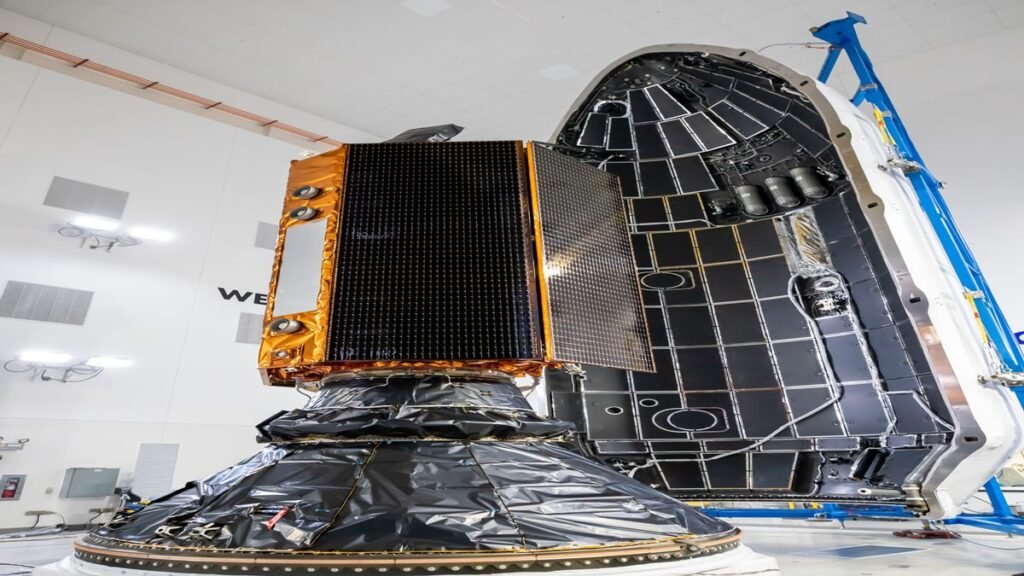


Introduction to NASA Sentinel-6B Satellite
A SpaceX Falcon 9 rocket has successfully launched the NASA Sentinel-6B satellite, a critical Earth-observing mission. This joint NASA-European satellite is designed to meticulously monitor sea level change, providing essential data for climate science, weather forecasting, and coastal planning. The primary mission of the NASA Sentinel-6B satellite tracking sea level is to extend a crucial 30-year climate data record.
A Continuation of Critical Climate Observation
Sentinel-6B is the second satellite in its series, following the Sentinel-6 Michael Freilich satellite launched in 2020. Together, they will ensure the continuity of precise sea level measurements, covering approximately 90% of Earth’s ocean. This long-term data is vital for understanding the pace and impact of global sea level rise.
Direct Benefits for Humanity and Safety
The data provided by the NASA Sentinel-6B satellite tracking sea level has direct, practical applications. It will enhance the accuracy of weather forecasts, including predictions of hurricane development and intensification. This information is critical for disaster preparedness and response, helping to protect lives and property.
Informing Economic and Defense Planning
Beyond climate science, the mission’s findings are crucial for economic and national defense interests. City planners and local governments will use the data to make informed decisions about protecting coastal real estate, energy facilities, and critical infrastructure from flooding. The data also aids commercial shipping and provides crucial ocean condition data for defense operations.
Supporting the Future of Space Exploration
The highly precise atmospheric data collected by Sentinel-6B will also contribute to future space exploration. It will enable safer reentry profiles for astronauts returning from missions, including those under the Artemis program, by improving navigational accuracy during their return to Earth.
FAQs: NASA Sentinel-6B Satellite
- What is the Sentinel-6B satellite’s main purpose? Its primary mission is to measure global sea level rise with high precision, continuing a decades-long data record for climate science.
- How does it help with weather forecasting? The satellite improves forecasts of ocean currents, wind, and wave conditions, which are critical for predicting weather and hurricane intensity.
- Who developed the Sentinel-6B satellite? It was jointly developed by NASA and its European partners, including ESA and EUMETSAT.
Conclusion
The successful launch of the NASA Sentinel-6B satellite tracking sea level marks a significant step in ongoing global climate monitoring. Its data will be indispensable for scientists, policymakers, and industries worldwide, helping humanity adapt to the challenges posed by a changing planet.
Disclaimer: This article reports on a mission led by NASA and its international partners. All data and mission details are sourced from official public communications from the involved space agencies.
Also Read: India’s New CNAP Feature to Display Caller Names from March 2026